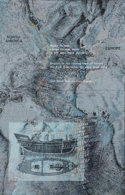
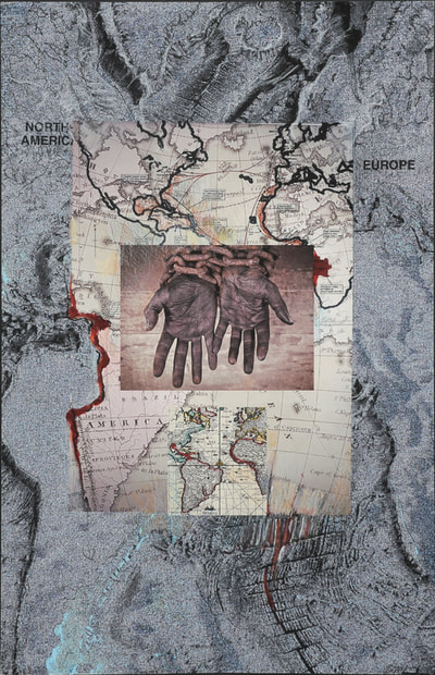
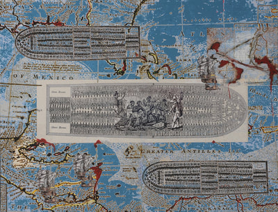
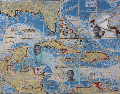
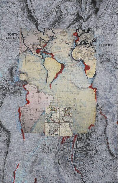
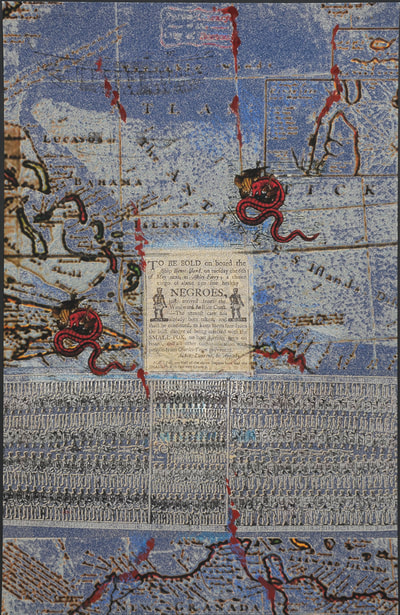
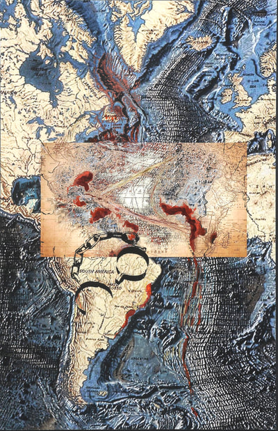
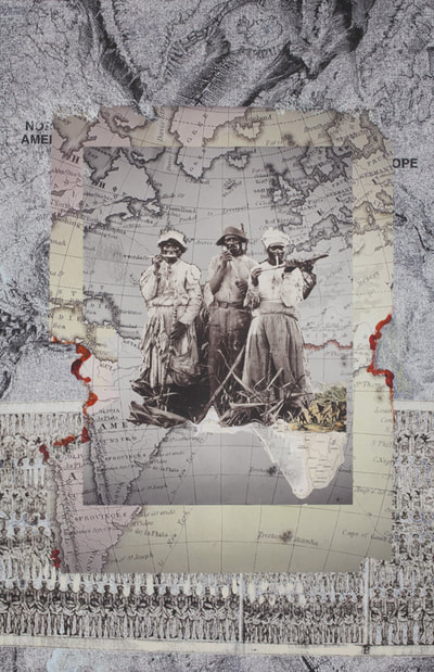
Voyage is a series of unique mixed media digital prints, with graphite, pastel, and paint. I begun this series, after visiting the National Museum of African American History and Culture in Washington DC.
Voyage with the related series, Variations on Warming Oceans, comprise FOOTPRINTS.
FOOTPRINTS refer both to the impressions made over time by movement of the earth's tectonic plates and to the intrusion by humans that have further altered and shaped our evolving planet. I am looking at both our physical and social climates, the environments in which we live.
Hidden behind these modified digital prints, are maps made by geologist Marie Tharp of the floor of the Atlantic Ocean. I modify them first on my computer in Photoshop and then by hand, drawing with graphite, paint, and pastel. Through the layers, one can catch glimpses of the maps below. Although these maps are beautiful in and of themselves, they are evocative.
The maps have allowed me to imagine what is happening or has taken place in the terrain below and the sea above.
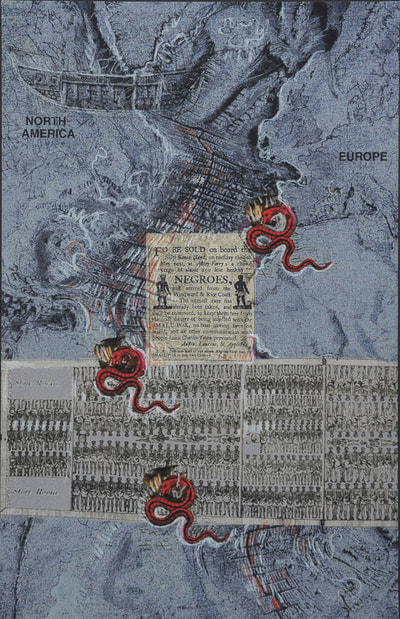
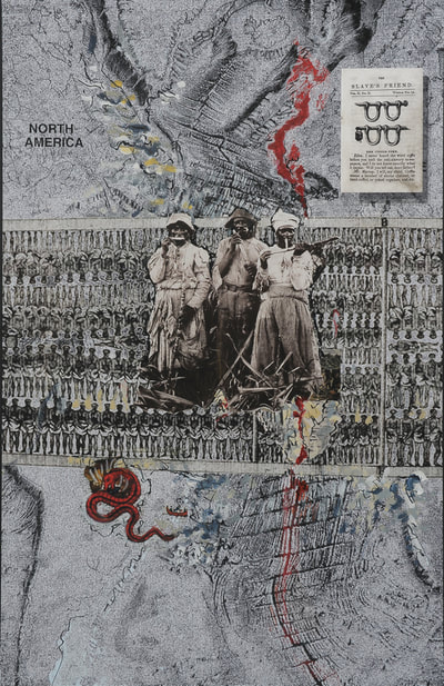
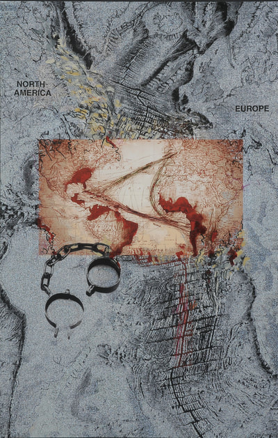
In Variations, I am looking at the seas in the context of human-induced climate change, I refer to the effects of warming waters and increased levels of methane that pose a great danger to our planet and our existence. In Voyage , I am considering the sea as a locus of migration -- the forced transport of human beings, as cargo, from Africa to North and South America through the 19th century, what is called ‘the middle passage’. The effects of this shameful history -- of the enslaved and the enslavers -- are still with us and poison our social climate.
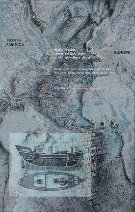
This piece is included in PERSONAL GEOGRAPHIES, an exhibit at the Chandler Gallery in Cambridge, March 26-April 20, 2018.
"In DARK SHIP, Phyllis Ewen tells a very different story with a topographical map of the Atlantic Ocean overlaid with text about the Middle Passage. Though four continents are shown, only North America and Europe are labeled. Though a diagram of a ship is also shown, the hull is empty. This piece contrasts what is laid out visually, or mapped, with what is visually absent but present only in the text."
These are some of the others in the series, VOYAGE. More to come. Click on an image to Enlarge
 RSS Feed